WHAT ARE CATCHMENT AREAS?
School catchment areas are pre-defined geographical areas that have been determined after due consideration of all relevant factors, including the accommodation available in the schools, the accessibility of the schools to students, and the safety of students going to and from school.
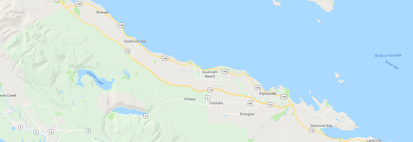
The School Locator tool is a convenient way to help you determine the catchment area school(s) for your street address. Detailed information is provided, including grade configuration, principal's name, telephone number, and address. Please note that in the case of errors, discrepancies, and interpretation, the Board of Education for School District 69 (Qualicum) shall have final authority in all matters relating to School District 69 boundaries. If you have any questions, please contact the School Board Office at 250-248-4241.
Refer to the School Locator and enter your residence to determine your school catchment area or see School Catchment Area Map links below.
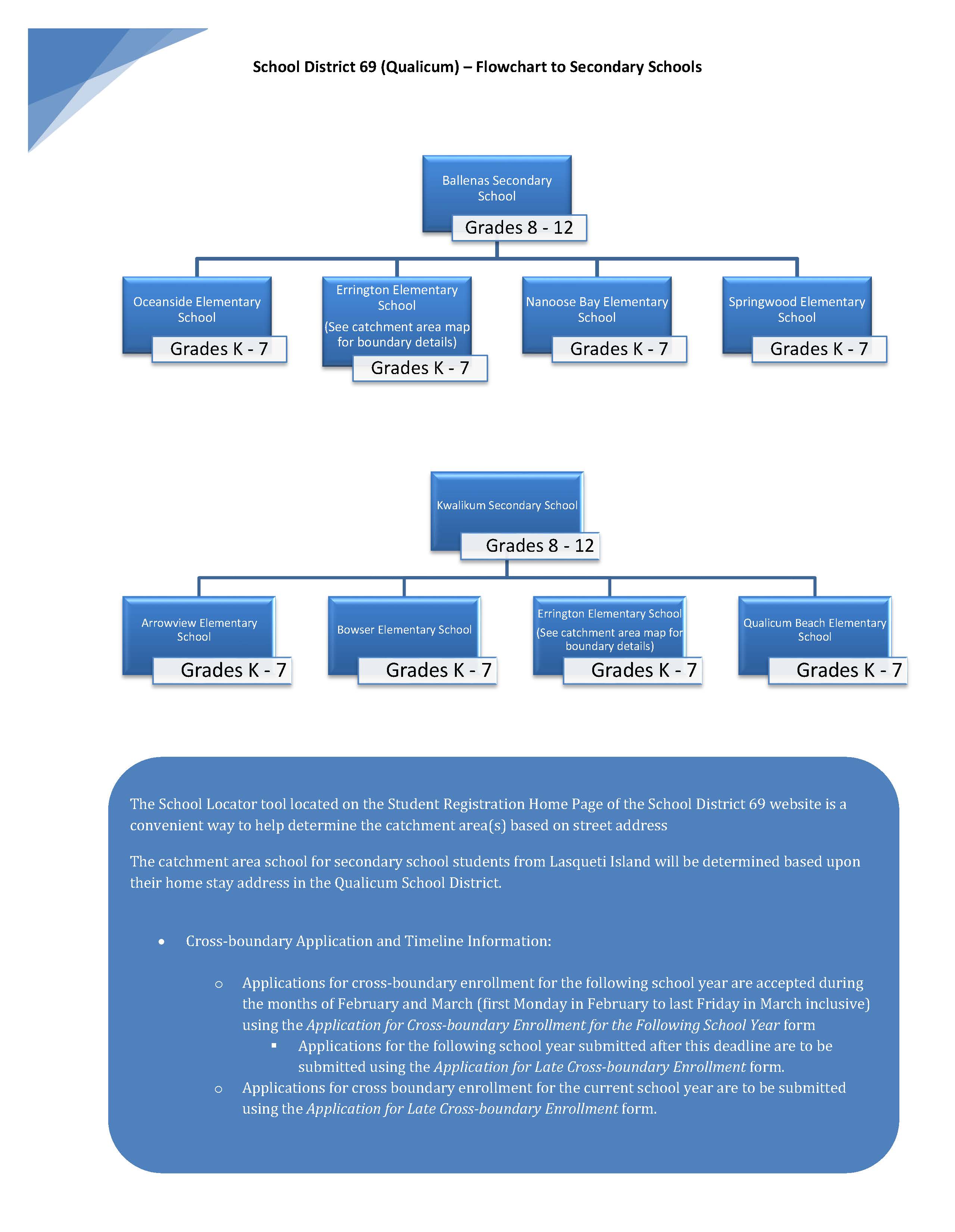
If your child is moving from elementary to secondary school, please refer to the Catchment Area Flowchart document below.